This time I’ll tell you about my training as a trekking guide for the German Alpine Club. I spent a week in the Austrian mountains with two excellent instructors and learned a whole lot. I also met great people among the other participants, with whom I had a lot of fun.
Theoretical knowledge: Trekking guide
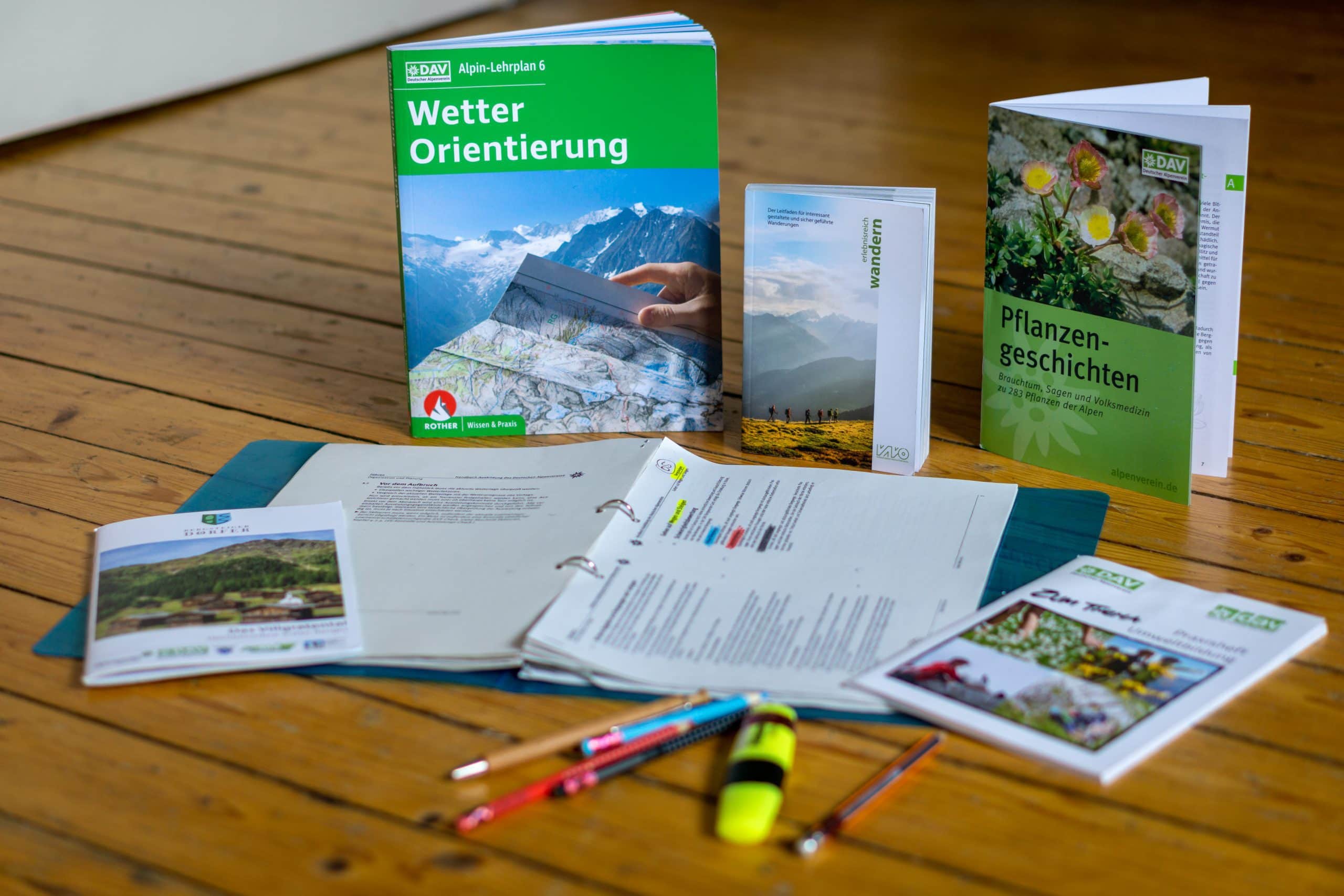
A few weeks before the training, I had to start studying the literature to be well prepared. First of all, it was about the social competence of a leader: How do I balance (1) the dynamics of the group with (2) the goal to be achieved and (3) my own emotional/physical state? Further theory topics were: Orientation in the terrain, weather, mountain rescue, first aid, and law/insurance.
Course location: Villgratental, Austria
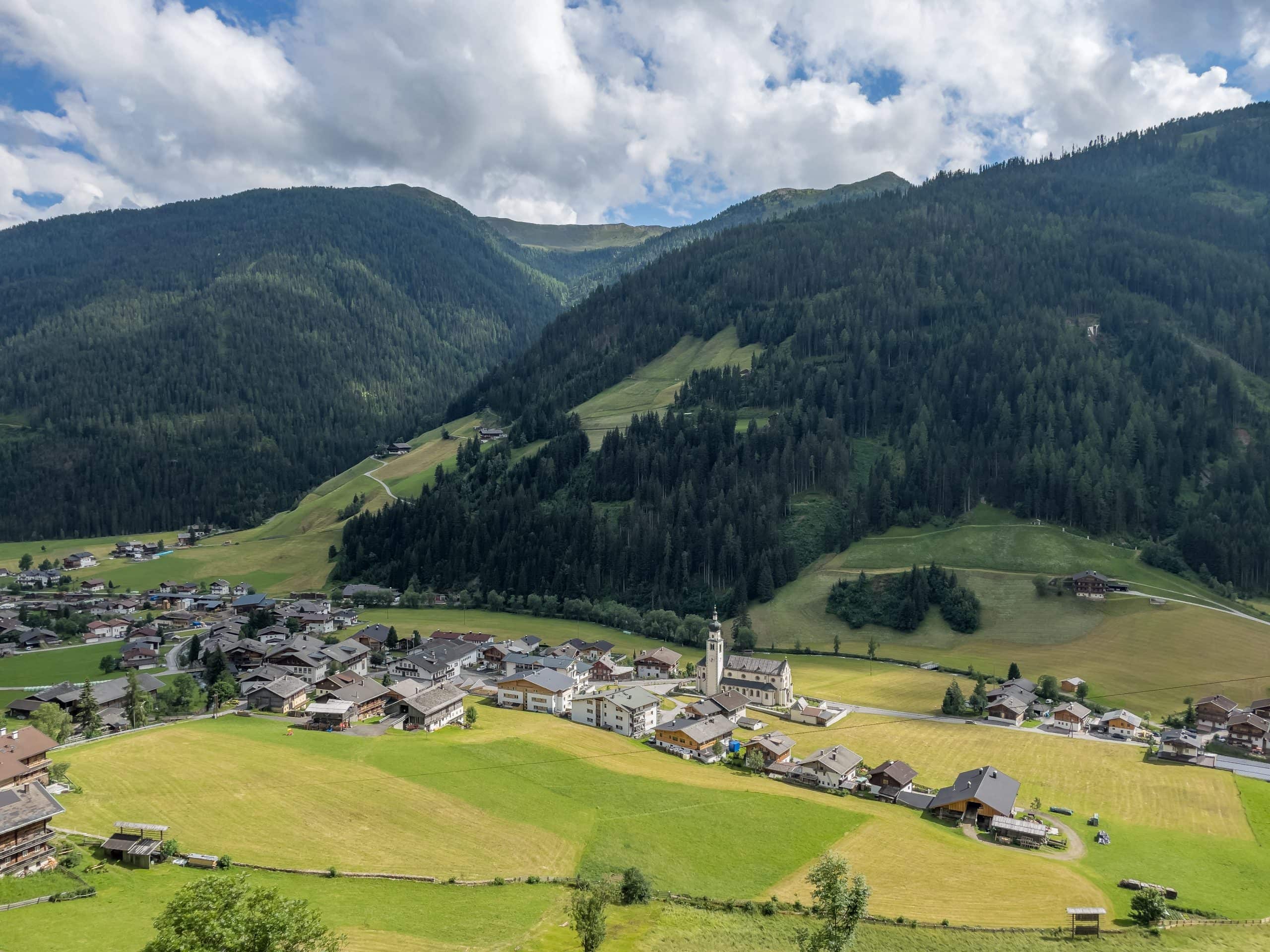
The training took place in Villgratental in East Tyrol, Austria. This is an authentic valley in the Hohe Tauern mountains of the Alps. Mountain farming and handicrafts still play a central role for the locals. Fortunately, mass tourism has not yet taken hold and the region is one of the most pristine natural and cultural landscapes in the Alps. We stayed at the Hotel Raiffeisen, where we were excellently catered for and from where we were able to go on fantastic hikes.
The experiential value of a hike
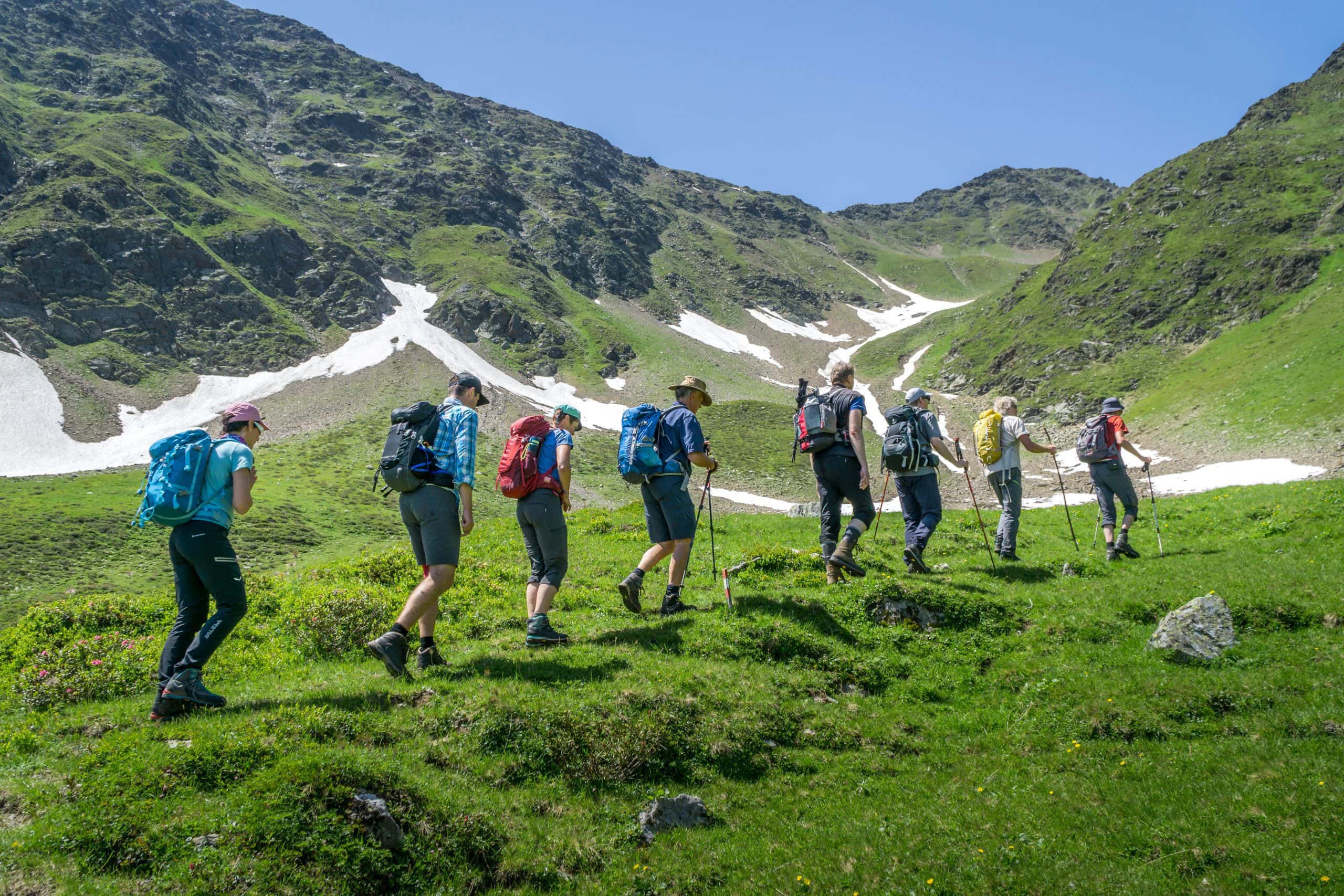
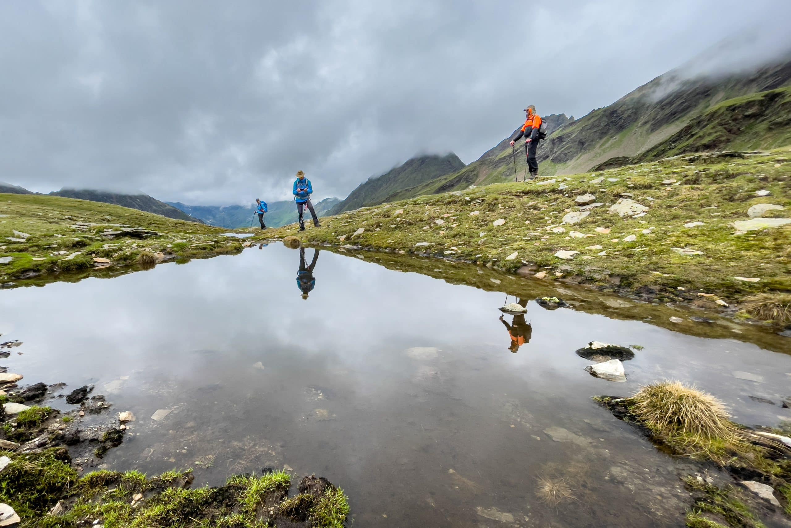
I had my most important insight from the whole week already on the first day. We went on an 8 km hike to a mountain lake called Schwarzsee. We had to climb 800 meters in altitude. I had always been used to arriving at the summit as quickly as possible, but now there were group members who walked at a much slower pace. At first, I was annoyed by this. I hid behind my photo camera and ran from one vantage point to the next, taking pictures of the group. But in the course of the day, I became aware of something that in the Alpine Club is called the “experiential value” of a hike.
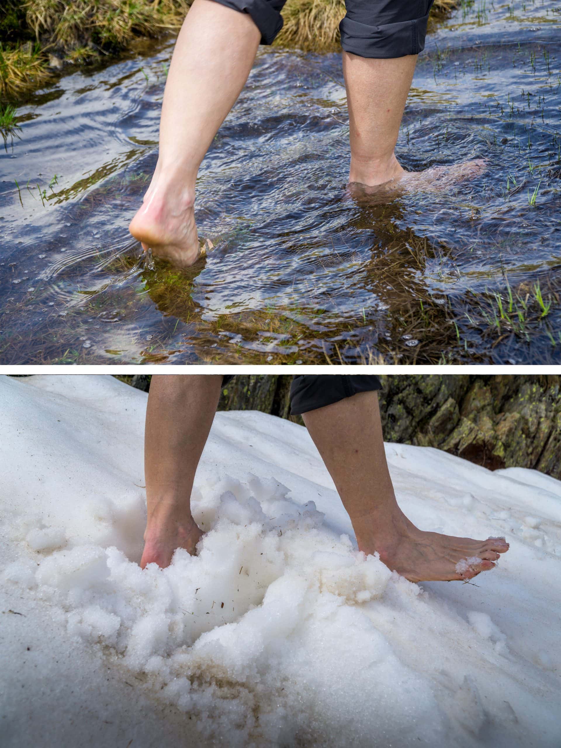
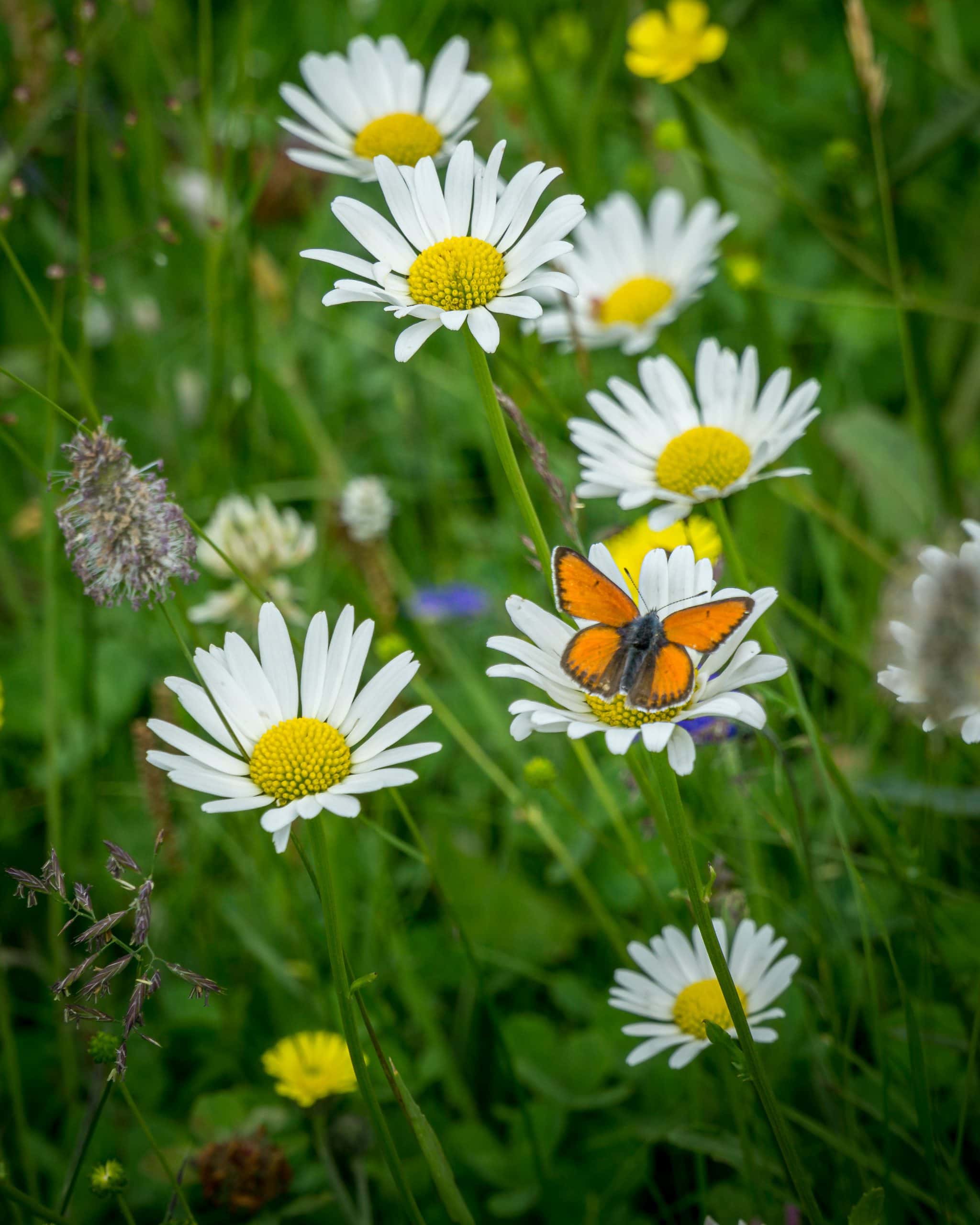
Besides the performance aspect and the great view at the summit, many other things make an excursion worth experiencing. For example, we looked at the surrounding alpine pastures and learned about their architecture. We stopped at various flowers and learned about their benefits. When we reached the lake at the top, we had a lunch break. But instead of everyone eating their own picnic, we cut all the food we had into small pieces and set up a beautiful buffet on a large rock. And as a little digestive activity before the descent, we created our own barefoot path through meadows, rocks, snow, and water. In addition to these many wonderful experiences, the slow pace also allowed for a lot of interesting conversations. Whenever I next go to the mountains, it will now be a much richer experience than before.
The weather factor
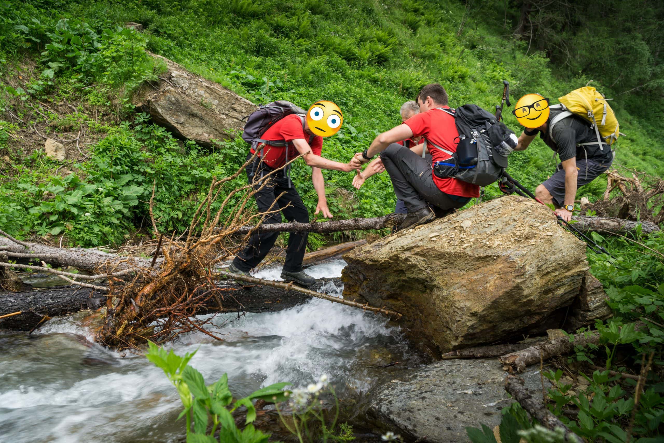
As a trekking guide, you can adapt your planned tour to the weather, but unfortunately, this does not work the other way round. You have to take the weather as it comes! However, this does not mean that you go into the mountains in all weathers, because that would mean accepting a multitude of risks and dangers. That’s why we learned about the relationship of high- and low-pressure areas, the formation of single-cell thunderstorms and squall line thunderstorms, and the effects of atmospheric pressure, temperature, humidity, precipitation, and wind. In conjunction with various weather forecasts from the internet, we were able to predict quite accurately when the rain would start for the second day of training. We hiked the whole morning and came back to the hotel just in time for the first rain shower. The special experience of this tour was crossing a raging mountain stream whose bridge was broken.
Mountain rescue and first aid
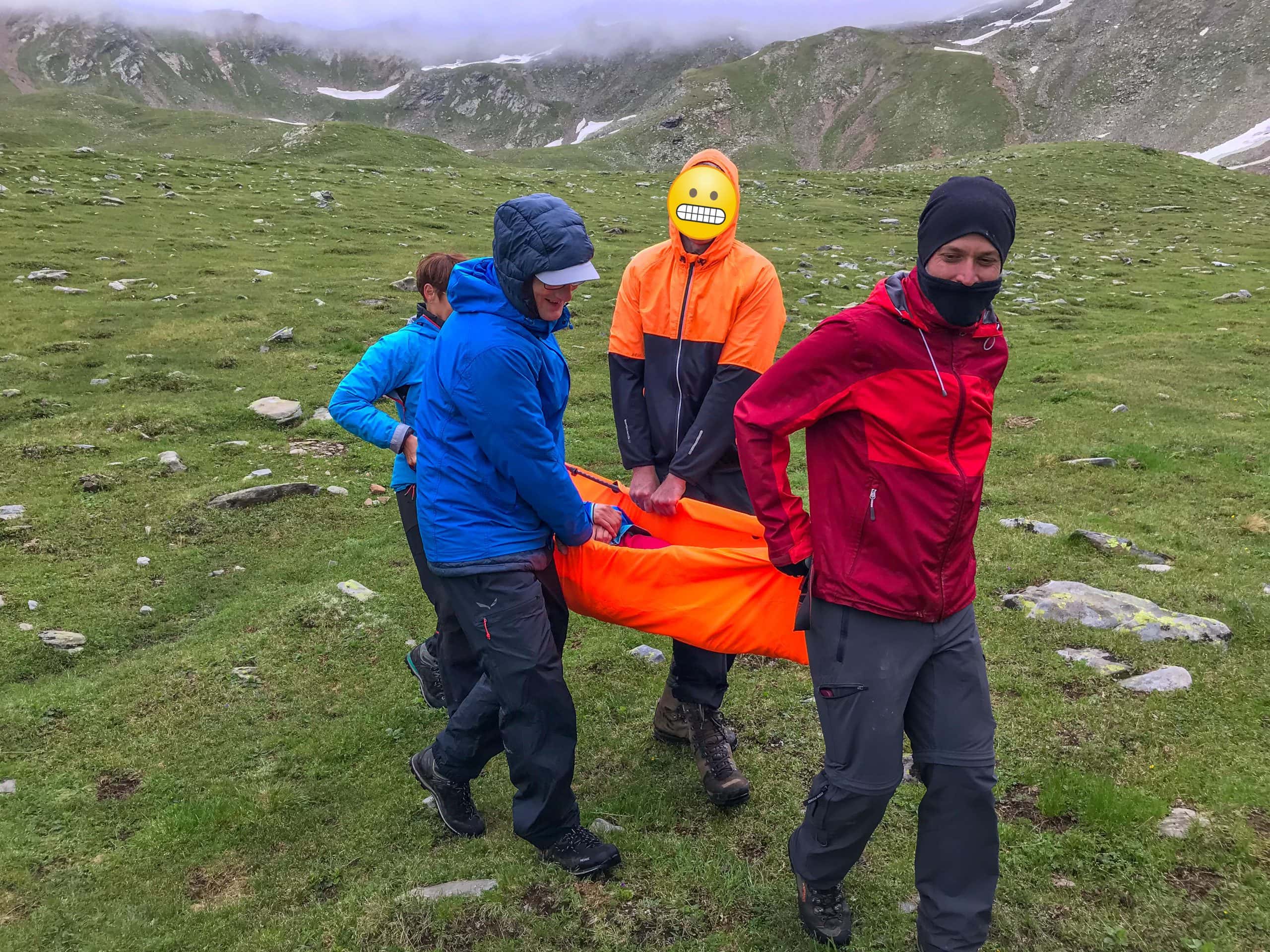
When we take on the guiding responsibility for other people in nature, we always have to reckon with the possibility of one of the participants getting injured. The exposed location, far from rescue routes and mobile phone reception, makes special knowledge of first aid and rescue measures indispensable. That’s why we practiced dealing with an alpine emergency on the third day of training. Is the injured person responsive? Is he in a dangerous place? Has he fallen? Can he still breathe? Do I have to make an emergency call? Etc. In case help from the rescue service is not possible or would take too long, we also practiced different ways of transporting injured people. It is an uncomfortable subject and of course, everyone hopes never to need this knowledge. But with all this information, I feel much safer now.
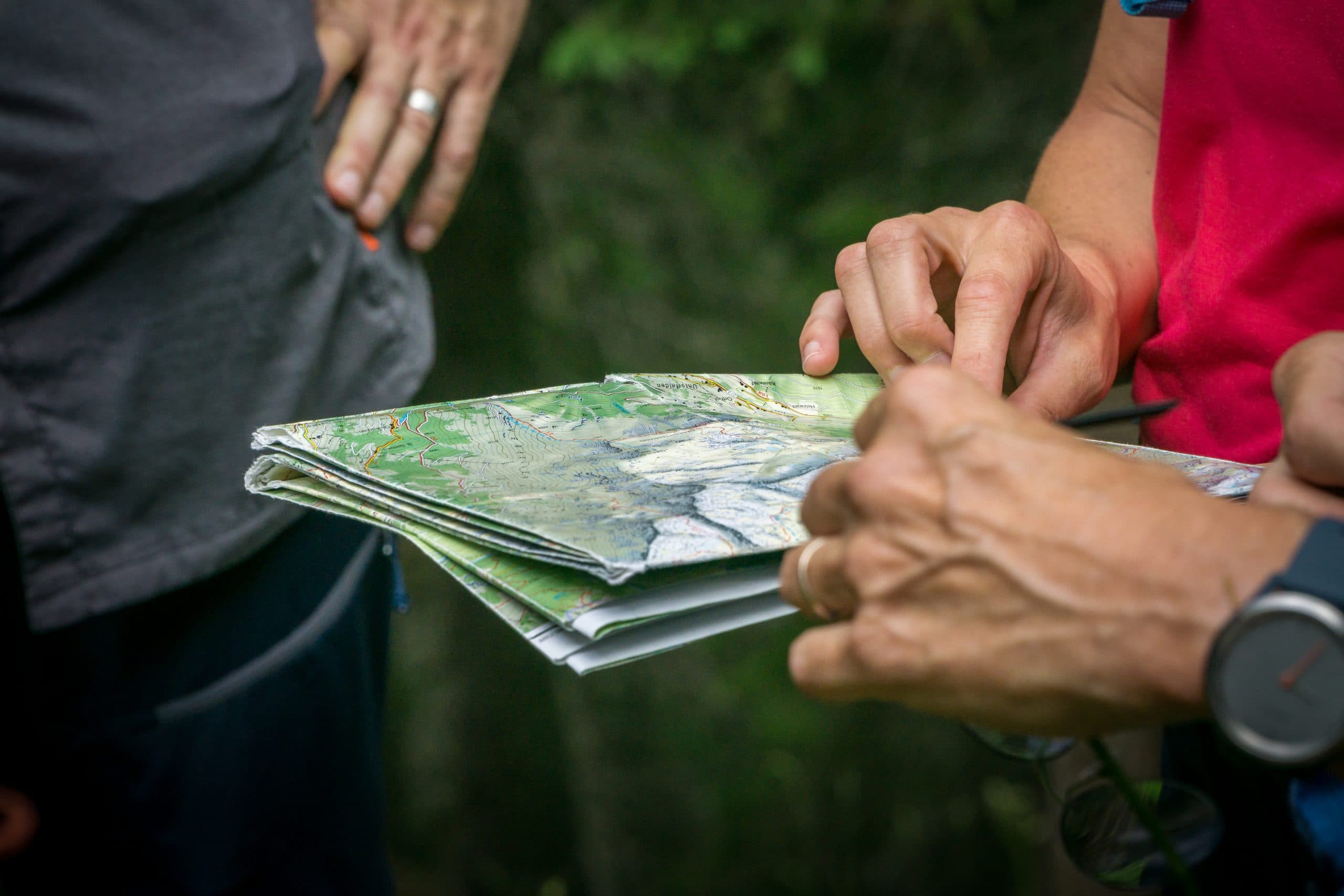
Tour planning
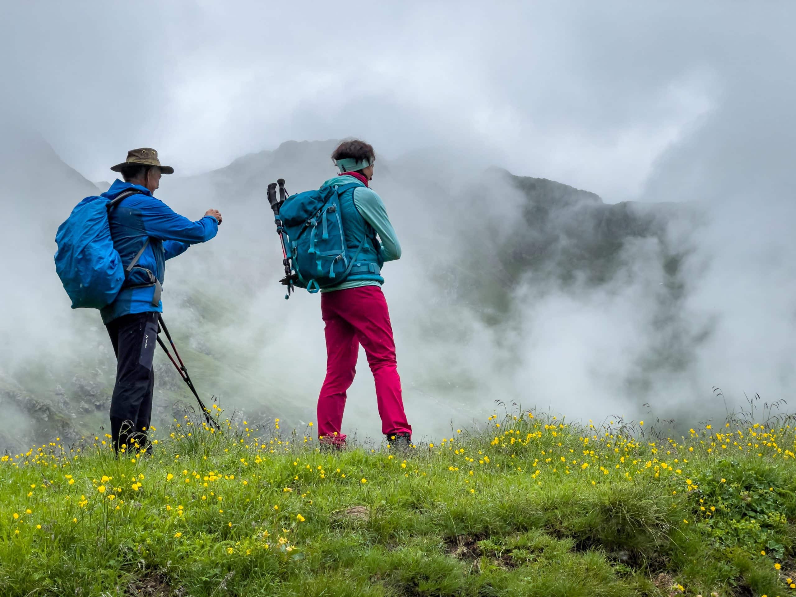
Particularly if you have never hiked a tour before and have no information from a hiking guide, it is important to plan the tour using a hiking map. Two pieces of information are essential here: (1) How many kilometers do I want to hike? (2) How many vertical meters do I have to cover? Using a certain formula, the required time can be calculated from this. This is how we prepared for our fourth day of training: A 10 km hike with a total of 1500 meters of ascent and descent. We calculated 5:30 hours for this (without a break), which worked out pretty well in the end. A special challenge is to find the points of special interest on the map. For example, watercourses, viewpoints, plateaus, etc. That day it was completely overcast and foggy, which gave the landscape an impressive mood.
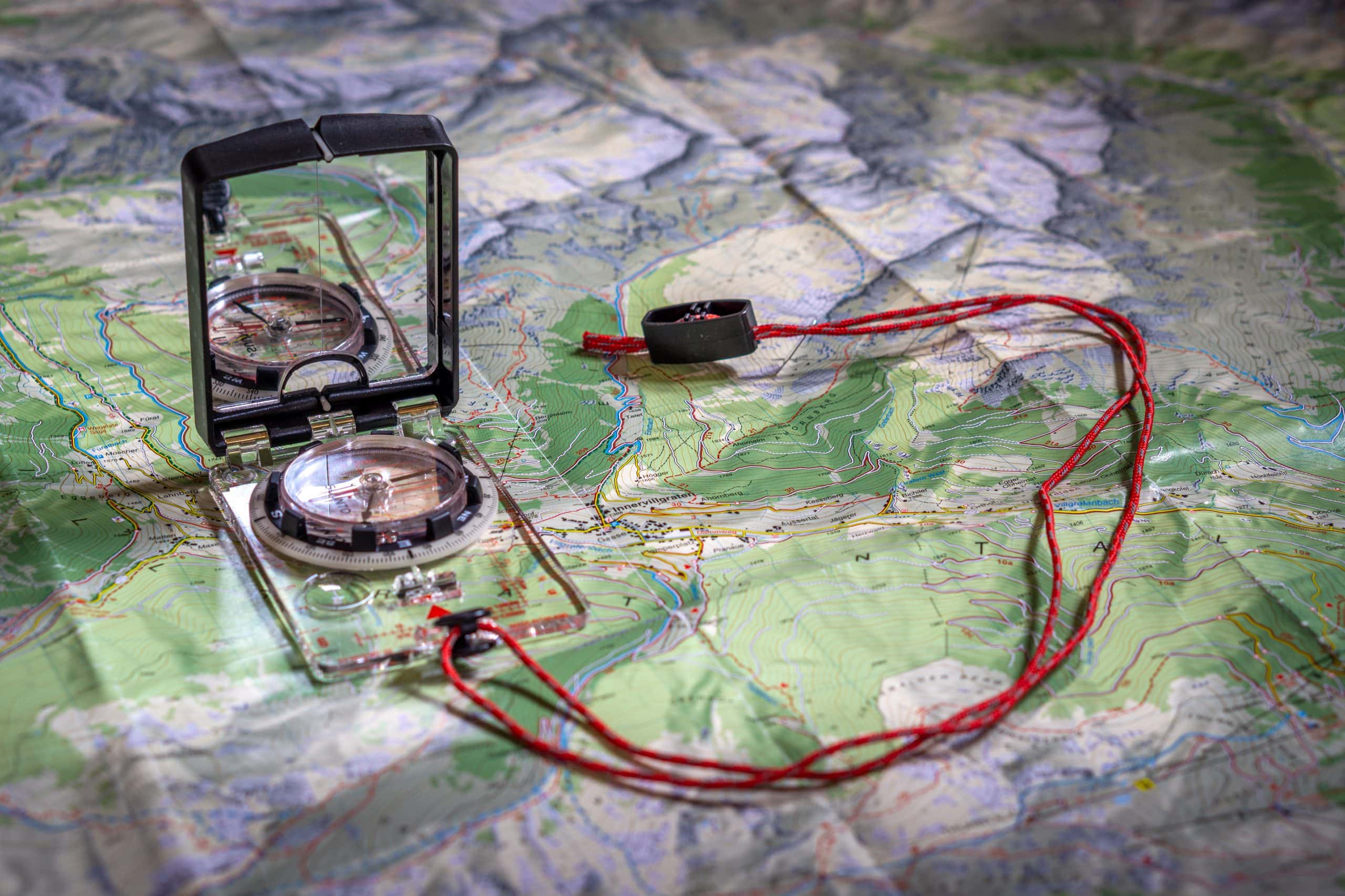
Orientation with map and compass
Nowadays, no one walks around in the mountains with a compass and map. GPS apps for mobile phones are excellent and work completely offline. You get your current position displayed with an accuracy of a few meters and the map data is quite up-to-date. Nevertheless, from my point of view, it still makes sense to be familiar with the old orientation tools. On the one hand, because I will not only be traveling in the Alps but also in far more remote regions of the world, where the mobile phone battery may eventually run out. And on the other hand, because it’s just so much fun! So, on the fifth day of training, we practiced outside using the bussole (a certain type of compass) to locate specific peaks. In addition, we also practiced determining our position based on the intersection of two points we had targeted.
Traveling cultural landscapes
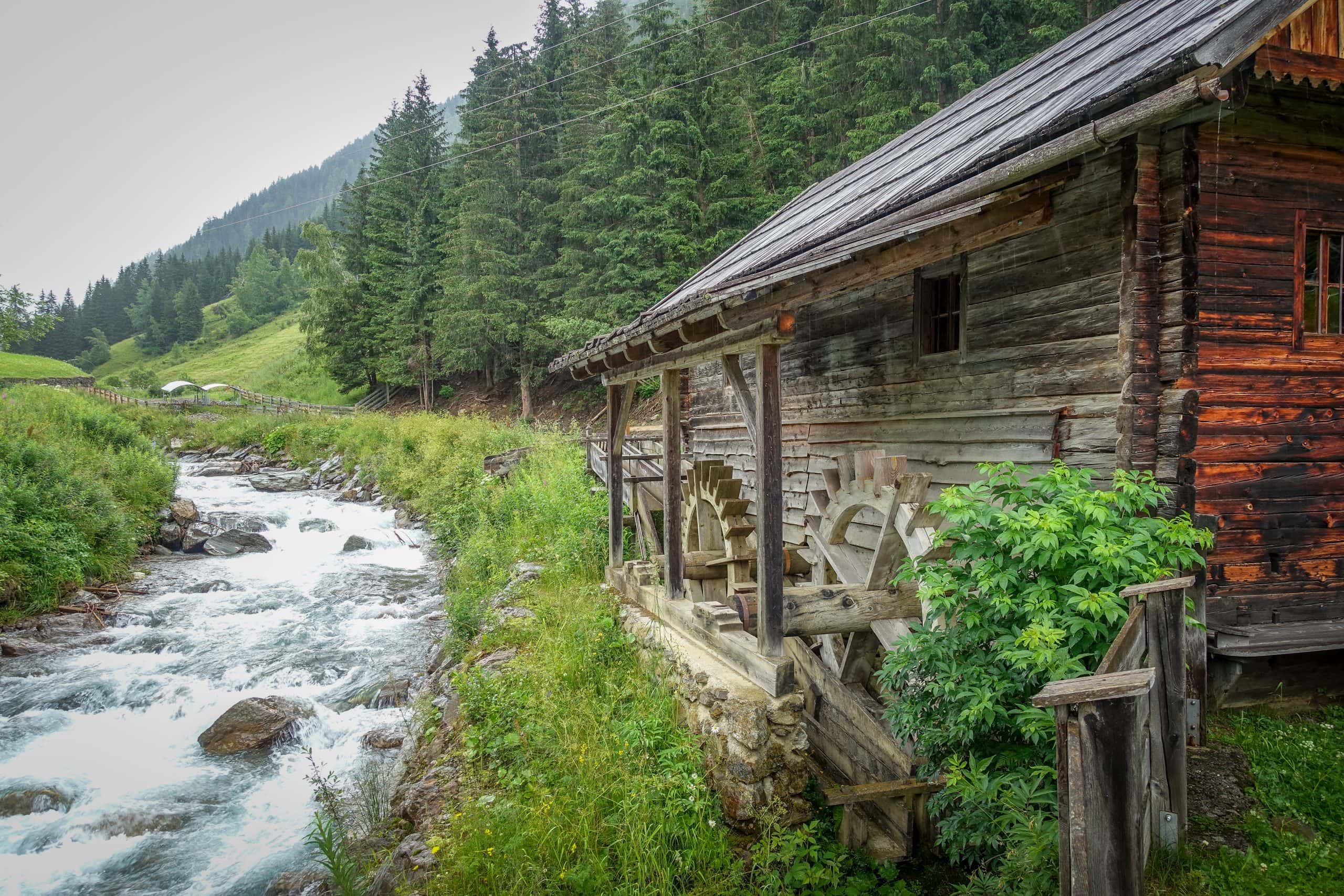
If you can include information about the local culture, religion, language, and way of life in your hiking tour, then the tour becomes a holistic experience. In the afternoon of the last day, we visited an old farmstead from the 15th century. The smithy, chapel, sawmill, and flour mill had been completely restored and we were even able to see the sawmill in operation during an entertaining guided tour.
Trekking guide
All in all, the training to become a trekking guide for the German Alpine Club was a wonderful experience. I went home with a great wealth of inspiration and am already looking forward to leading my first tours very soon.
My Outdoor Mobile App Recommendations
- GPS navigation with Android mobile phones: https://www.locusmap.app (LOCUS MAP)
- GPS navigation with iphones: https://osmand.net (OSMAND)
- Recognition of plants, animals and mushrooms: https://www.inaturalist.org/pages/seek_app (SEEK)
- Mountain peak recognition: https://www.peakfinder.org/en/mobile (PEAK FINDER)
- Weather forecast: https://content.meteoblue.com/de/zugangsoptionen/mobile-apps (METEOBLUE)
- Emergency call app: https://www.alpenverein.de/bergsport/sicherheit/notfall-app-sos-eu-alp_aid_34001.html (SOS-EU-ALP)
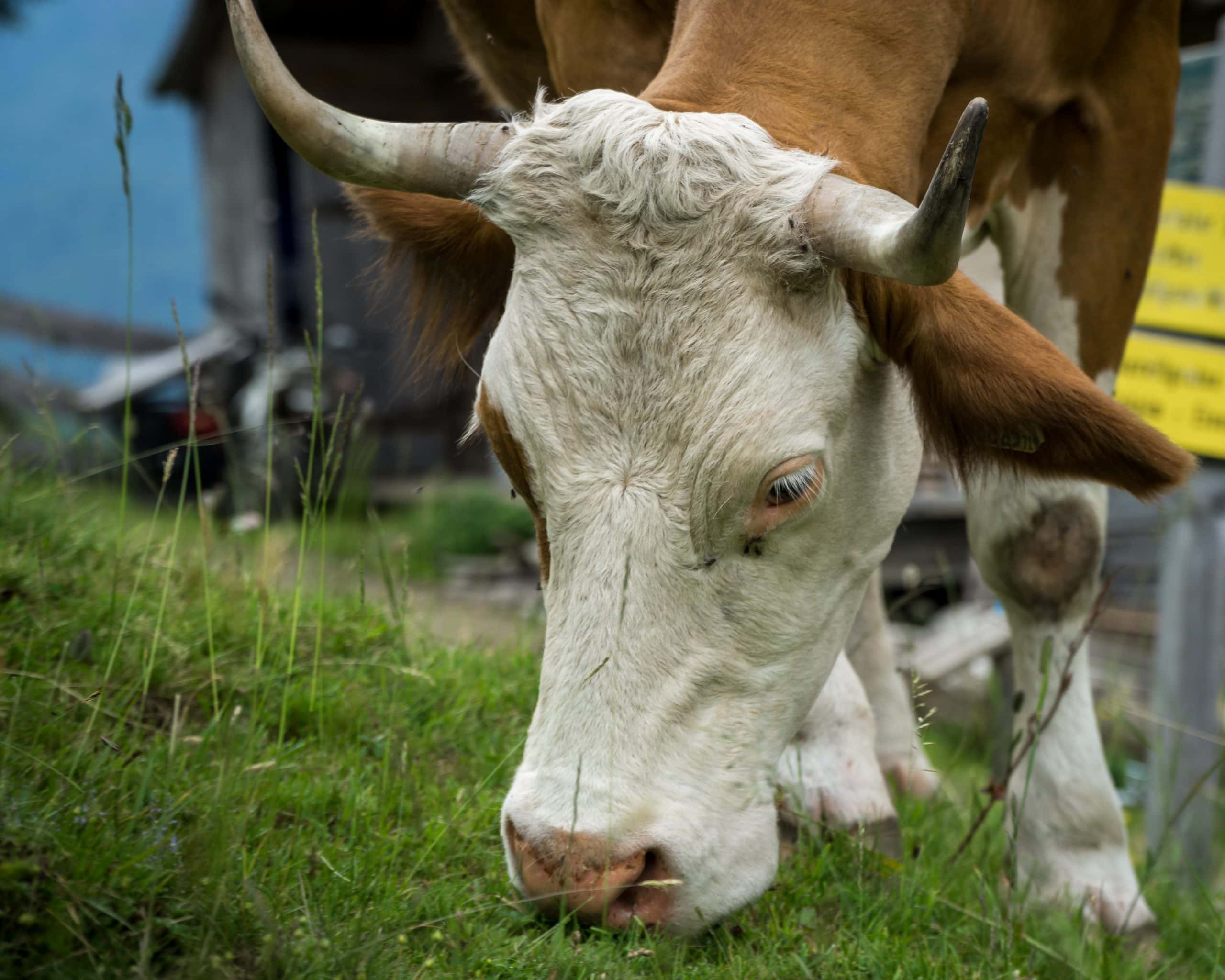
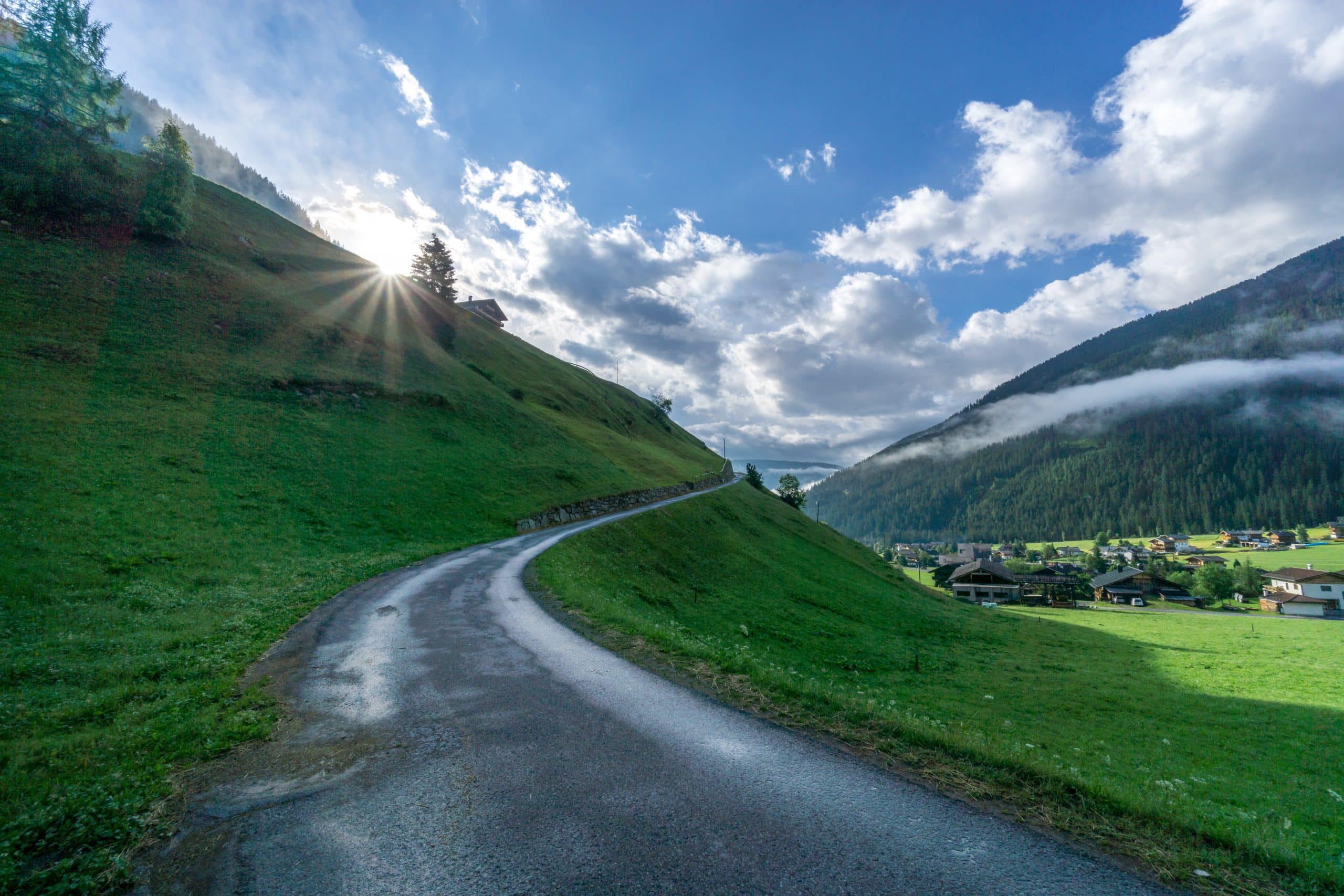
More pictures…
A few more impressions from my training week to become a trekking guide for the German Alpine Club:


")
")
")

")
")


")
 with Trollblume (globeflower)")

")


")
")

")
")
")

")


")
")

 On this blog, I record my adventures, journeys, experiences, thoughts, and ideas. If you don't want to miss any of it, subscribe to my newsletter.
Hi Nils,
congratulations for your new qualification! Thanks for impressive post and the wonderful pictures.
I’m looking forward to your guided tours for our local Alpine Club DAV Sektion Weinheim!
Stay safe and enjoy the mountains!
Hey Walter!!! Vielen Dank für deinen Kommentar und für den Besuch meiner Seite!
Tatsächlich freue ich mich auch schon sehr auf meine erste geführte Tour für die Sektion!!! Ich setze mich die Tage mal mit dir in Verbindung!
Liebe Grüße!
Nils
Felicitaciones Nils. Hace poco aprendí lo mismo, a no buscar el destino tan rápido y disfrutar más del camino. Voy a buscar esa fórmula para calcular el tiempo de caminata. Éxitos
Muchas gracias, Janis! Gran leccion esa de disfrutar el camino!
Aqui va la formula:
1. calcula el tiempo necesario para el desnivel: 300 m de altura por hora para el ascenso, 500 m de altura por hora para el descenso
2. Calcula el tiempo necesario para la distancia: 4 km por hora
3. Dividir por la mitad el valor menor y sumarlo al mayor.